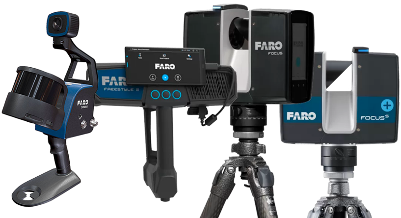
We are the official distributor in Spain for FARO hardware and software products.
Mass-capture equipment for point cloud acquisition.
Terrestrial, mobile, and handheld laser scanners.
Maximum accuracy and reliability.
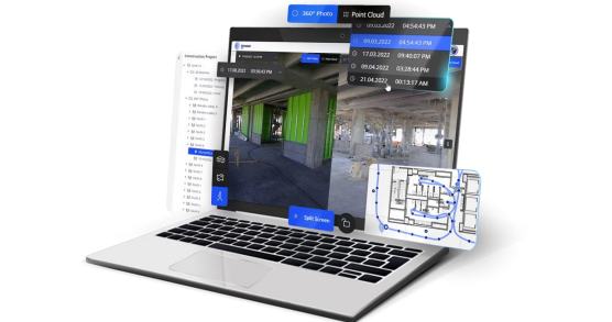
“One platform for all your reality capture data.”
Combines point clouds, 360° imagery, measurements, and annotations within a single viewer.
Collaborative platforms allow you to securely share data from anywhere in the world.
Available for sale or rental.
A new reality capture solution for everyone, combining intuitive workflows, impressive imagery, and professional results.
Easy data capture with the Stream® app.
Key features
Key features
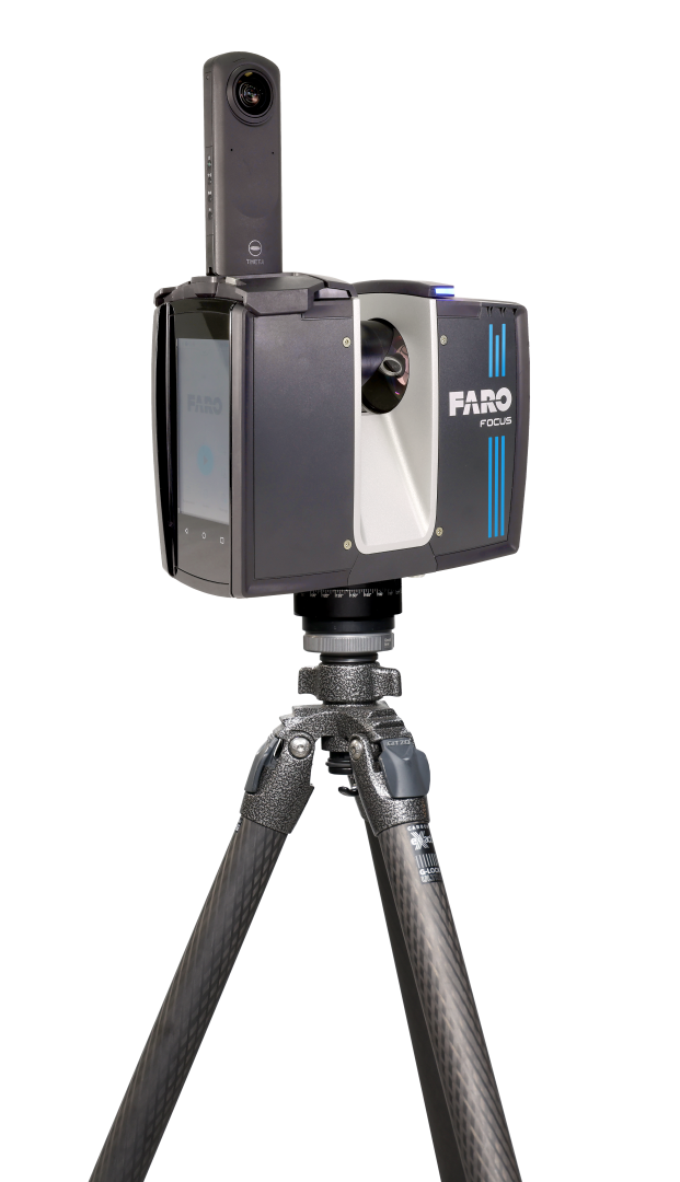
State-of-the-art 3D laser scanner offering exceptional accuracy and speed in data capture.
Focus Premium delivers exceptional capture efficiency, data quality, and accuracy for professionals in the construction, public safety, maintenance, and manufacturing sectors.
The Focus Premium Max features an extended range of up to 400 m. This significant increase compared to the Focus Premium allows users to capture data from larger structures and use the scanner for a wider range of geospatial applications, including infrastructure surveying, topographic mapping, high-accuracy volume calculations, and much more.
Extended range of up to 400 m for the most demanding projects.
Key features
Key features
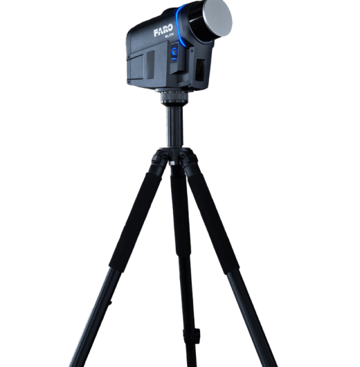
Basic TLS and mobile scanning capabilities in a single device.
Document more with the same budget. Achieve up to 60 additional days of field data capture per year compared to traditional workflows.
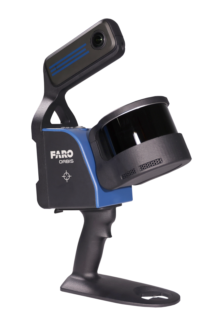
The FARO® Orbis™ Mobile Scanner enables you to capture entire sites when speed is the priority.
With an IP54 rating and a powerful new camera, the Orbis Premium takes SLAM scanning to the next level.
Flash™ technology for fast, high-density scanning. Capture vibrant, accurately colored point clouds, even in the most challenging environments.
Key features
If you do not have prior experience, we offer training and guide you through your first steps.
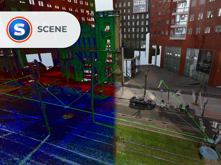
Point cloud processing, registration, and visualization.
Designed specifically for the visualization, management, and processing of point clouds captured with FARO devices such as the Focus3D and Freestyle3D, while also supporting data from other sources and standard point cloud formats.
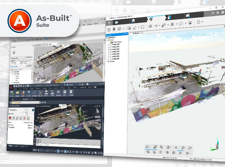
They are a suite of innovative and cost-effective tools for efficiently converting reality capture data into CAD and BIM models.
The software automates the extraction of building elements from point clouds, reducing time and effort. With a single click, walls, beams, pipes, and other
BuildIT Construction by FARO is a comprehensive verification software solution that enables users to confidently manage quality control and quality assurance processes throughout the entire construction and facility lifecycle.
Sphere XG is a centralized platform that unifies all your reality capture, geospatial, and 3D model data to improve collaboration and support informed decision-making. Leveraging industry-leading services and desktop and mobile applications, Sphere XG enables the seamless capture and visualization of digital representations of sites using 360° imagery, 3D point clouds, and 3D/BIM models.
Contact us with no obligation.
We’d be happy to learn more about your project.
Error: Contact form not found.
Contacta con nosotros